
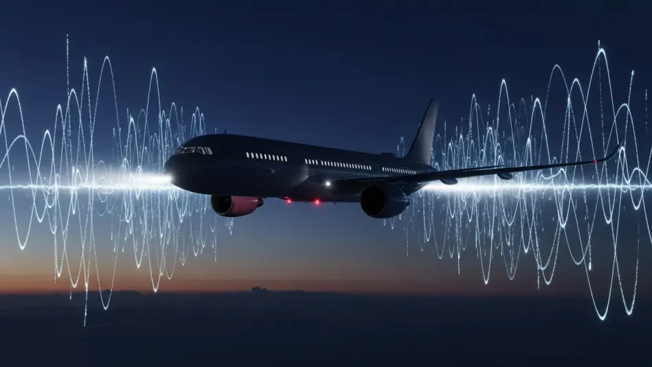
Modern aviation relies heavily on satellite-based positioning, yet the invisible battles waged in the electromagnetic spectrum now frequently spill over into the corridors used by thousands of unsuspecting commercial passengers every single day. While military forces utilize electronic warfare to mask movements or disrupt precision-guided munitions, these signals do not stop at the edges of a battlefield. Instead, they propagate across vast distances, often blanketing high-altitude airways with noise that effectively blinds Global Positioning System (GPS) receivers on civilian flight decks. This phenomenon has transitioned from a rare anomaly to a persistent operational hazard, particularly across Eastern Europe and the Middle East. Pilots are increasingly forced to rely on traditional navigation methods as their primary screens flicker with “GPS Lost” notifications or provide incorrect location data. The scale of this disruption challenges the assumption that satellite navigation is an infallible utility in the modern era of air traffic management.
Electronic Warfare: The Mechanics of Deception and Interference
Distinguishing between simple jamming and the more insidious threat of spoofing is critical for understanding the current risks facing international flight crews. Jamming is essentially a brute-force attack that overwhelms the relatively weak signals transmitted by satellites with a wall of electronic noise, causing the receiver to lose its lock entirely. While frustrating, this is a known quantity that triggers clear alerts within the cockpit, allowing pilots to switch to secondary systems immediately. Spoofing, however, is a sophisticated deception where a fake signal is broadcast to trick a receiver into calculating an incorrect position or time. In 2026, the proliferation of low-cost software-defined radios has made spoofing more common, leading to incidents where aircraft believe they are miles away from their actual coordinates. This can cause the flight management system to attempt unauthorized turns, creating a high-stress environment that requires instant human intervention to prevent a safety event.
The geographical concentration of these disruptions highlights a clear correlation between geopolitical tensions and aviation safety risks. Major hubs and transit routes near conflict zones have become hotspots for electronic interference, with flight crews reporting significant outages that last for hours during long-haul transits. These incidents are no longer localized to specific points but often affect entire regions, as powerful ground-based jammers intended to protect military assets inadvertently create “dead zones” for civilian traffic. Regulators have noted that the intensity of these signals is often high enough to interfere with other critical systems beyond just navigation, such as digital datalinks used for air traffic control. This persistent electronic fog forces air traffic controllers to increase the separation between aircraft, reducing the efficiency of the global airspace network. As these military capabilities become standard, the civilian sector must grapple with a reduction in satellite-based infrastructure reliability.
Navigational Resilience: Strategies and Future Paradigms
To counter the unreliability of satellite signals, the aviation industry is experiencing a necessary resurgence in the use of traditional, ground-based and autonomous navigation technologies. Inertial Reference Systems (IRS), which use gyroscopes to track an aircraft’s movement from a known starting point, serve as the primary fallback when satellite data is compromised. Unlike GPS, these systems are entirely self-contained and immune to external electronic interference, though they are subject to “drift” over long periods. To correct this drift, modern avionics suites increasingly rely on Distance Measuring Equipment (DME) scanning. This technique involves the aircraft automatically interrogating multiple ground stations simultaneously to triangulate a precise position through radio signals. By prioritizing these heritage systems, airlines ensure that their fleets remain capable of safe operation even when the sky is thick with noise. This “back to basics” approach is becoming a standard part of the operational manual on international routes.
Enhancing pilot proficiency in non-satellite environments became a top priority for training departments as they adapted to the realities of a contested electromagnetic spectrum. Simulator sessions were updated to include complex spoofing scenarios, where flight crews had to identify subtle discrepancies between their primary displays and independent instruments. This shift moved away from assuming a “perfect” cockpit and toward a philosophy of constant verification, where every piece of data was cross-referenced against multiple sources. Beyond training, the industry accelerated the deployment of Low Earth Orbit satellite constellations, which provided a stronger, more diverse signal set that was harder to jam than traditional GPS. These advancements represented a strategic pivot toward a multi-layered navigation architecture that did not rely on a single point of failure. By diversifying the technological portfolio, the aviation community established a robust defense against electronic warfare. These steps effectively ensured that civilian flight safety remained insulated from military conflicts.